Early Statesman synthesis distilling legal jargon into practical meaning, statutory anchors, and structural constitutional impacts.
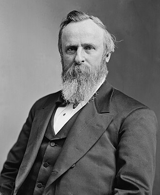
This executive order, signed by President Rutherford B. Hayes on 1877-04-16, establishes federal administrative policy concerning "—Defining Duck Valley Reserve Boundaries." It is a direct, concise executive instruction delivering focused administrative or military commands to department leadership.
Constitutional Assessment: Reviewed under the Tenth Amendment and the principle of dual federalism, this order touches upon domains traditionally reserved to the sovereign States. The Framers would caution against any attempt to commandeer state officers or displace local police powers through federal executive fiat.
Key Directives & Operative Actions
▪And the above-named tract of land is hereby set apart as a reservation for the Western Shoshone Indians, subject to such modifications of boundary as a location of limits shall determine.
Constitutional & Societal Entities Impacted
🏛️ Sovereign State Governments & Localities
🏛️ Private Citizens & Property Owners
Total Words
168
974 characters
Estimated Read Time
1 min
@ 200 words / min
Flesch-Kincaid
24.5
Post-Grad reading level
Constitutional Polarity
+0.02
Framers' Alignment index
📜
Scholarly & Legal Citations
Exec. Order, "Executive Order—Defining Duck Valley Reserve Boundaries," Rutherford B. Hayes (Apr 16, 1877). Available at https://executiveordersarchive.org/orders/app-executive-order-defining-duck-valley-reserve-boundaries.
Official Document Text
Source: The American Presidency Project (UCSB Archive)
EXECUTIVE MANSION, April 16, 1877. It Is hereby ordered that the following-described tract of country, situated partly in the Territory of Idaho and partly in the State of Nevada, be, and the same hereby is, withdrawn from the public domain, to wit: Commencing at the one-hundredth mile-post of the survey of the north boundary of Nevada; thence due north to the intersection of the north boundary of township 16 south of Boise base-line in Idaho; thence due west to a point due north of the one hundred and twentieth mile-post of said survey of the north boundary of Nevada; thence due south to the ninth standard parallel north of the Mount Diablo base-line in Nevada; thence due east to a point due south of the place of beginning; thence north to the place of beginning. And the above-named tract of land is hereby set apart as a reservation for the Western Shoshone Indians, subject to such modifications of boundary as a location of limits shall determine. R.B. HAYES.